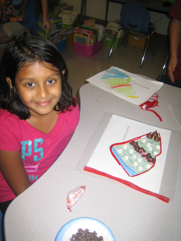
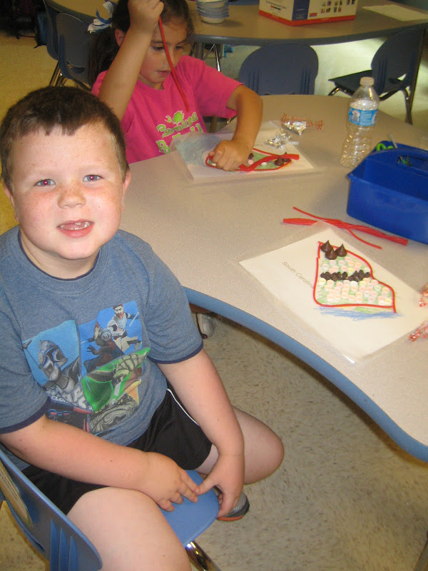
This is one of my favorite activities in Social Studies! We've been discussing the different landforms in South Carolina. There are 4 main ones -- the mountains, the plains, the hills, and then the ocean. After learning what the difference is between each geographical feature, we colored in a map showing the location of each feature. Then, the fun began!! We used candy to make an edible map! The Hershey Kisses were the moutains, the chocolate chips were the hills, and Smarties were the plains! We used Twizzlers to create the outline of our state! Yum!! We had a lot of fun!
I think it's pretty safe to say Peyton enjoyed eating his map afterwards! :)


No comments:
Post a Comment